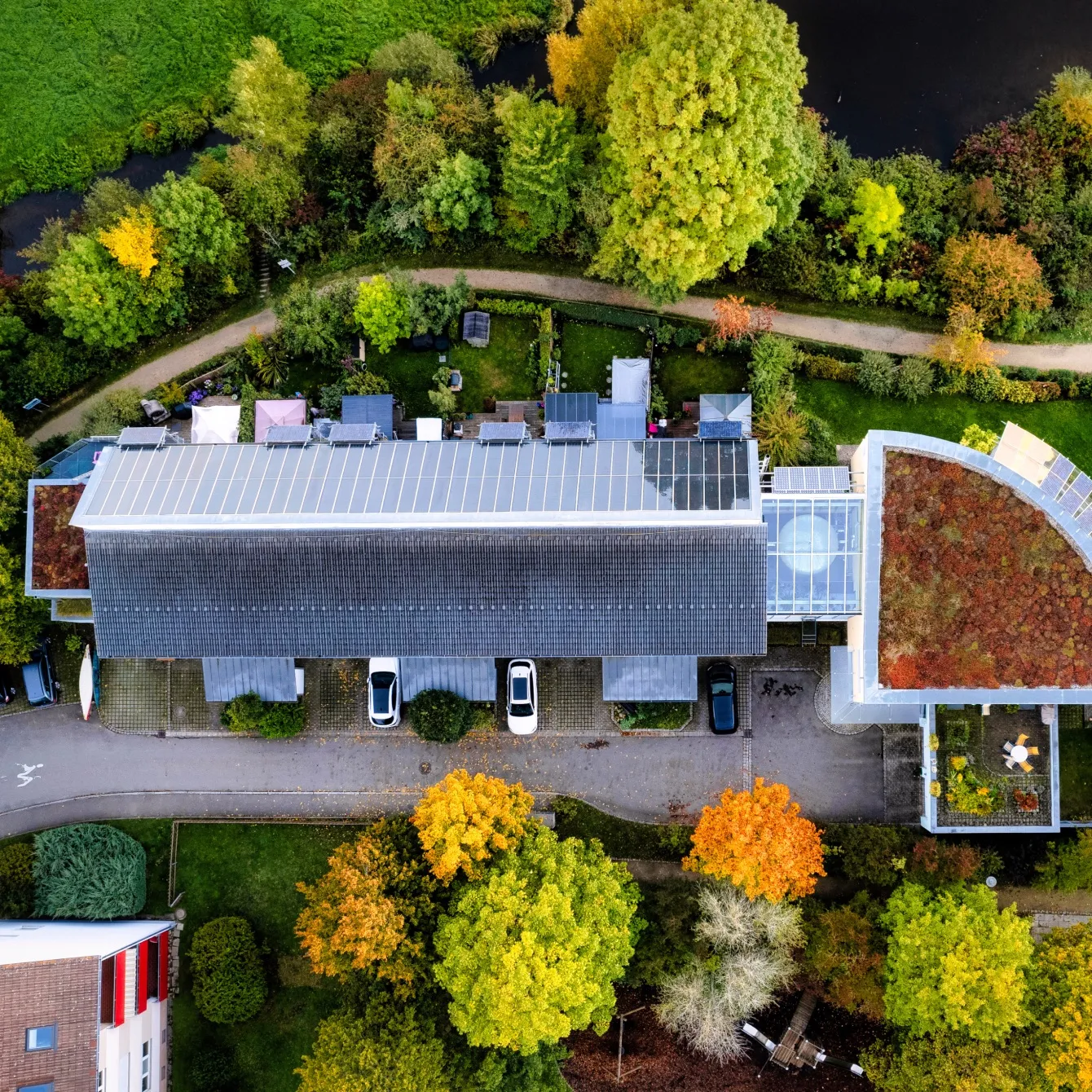
All PV planning methods in one software
Satellite imagery, blueprints, drone photos, or 3D models: with autarc, you can plan PV systems using whatever foundation is available for your project. Module layout, simulation, and quoting all continue seamlessly within the same tool.
Plan with or without a drone
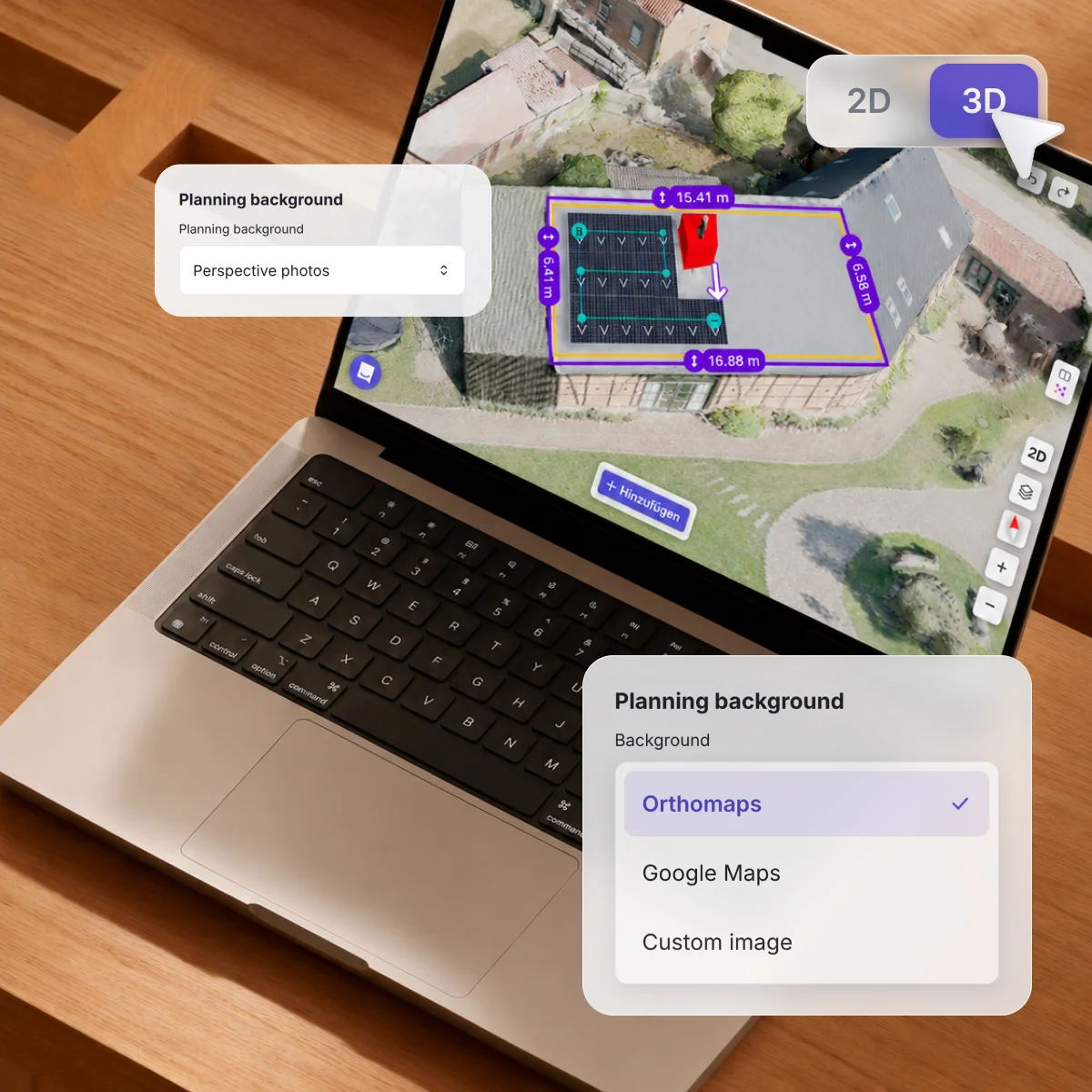
New: Planning with perspective photos
Choose the right foundation for every project
Over 2,000 trade businesses already trust us.



This is what PV planning with autarc looks like
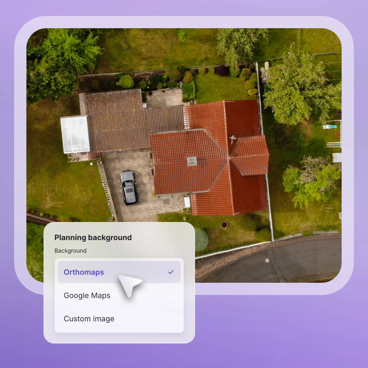
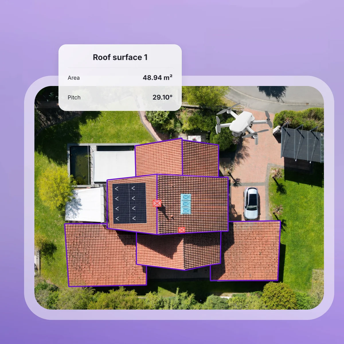
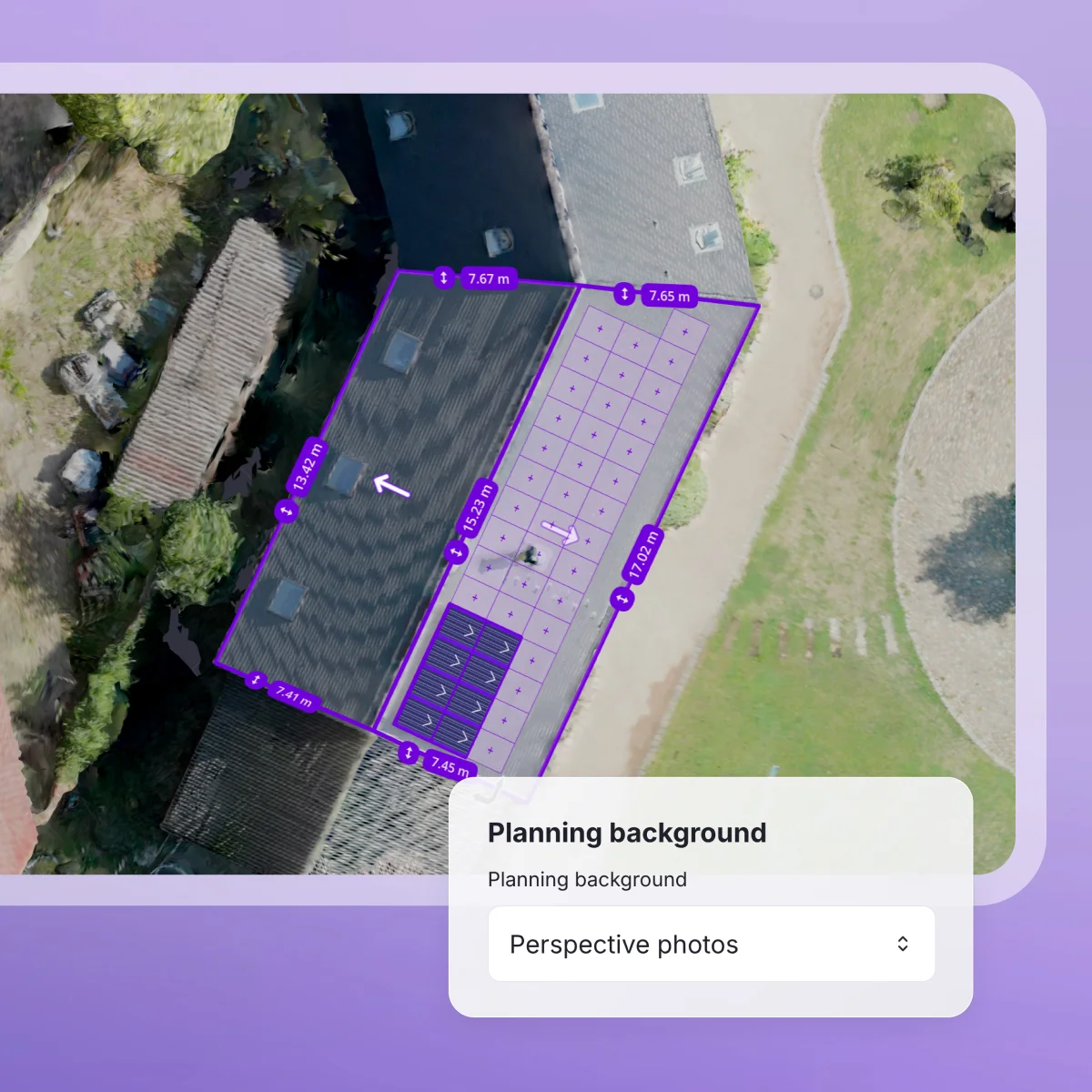
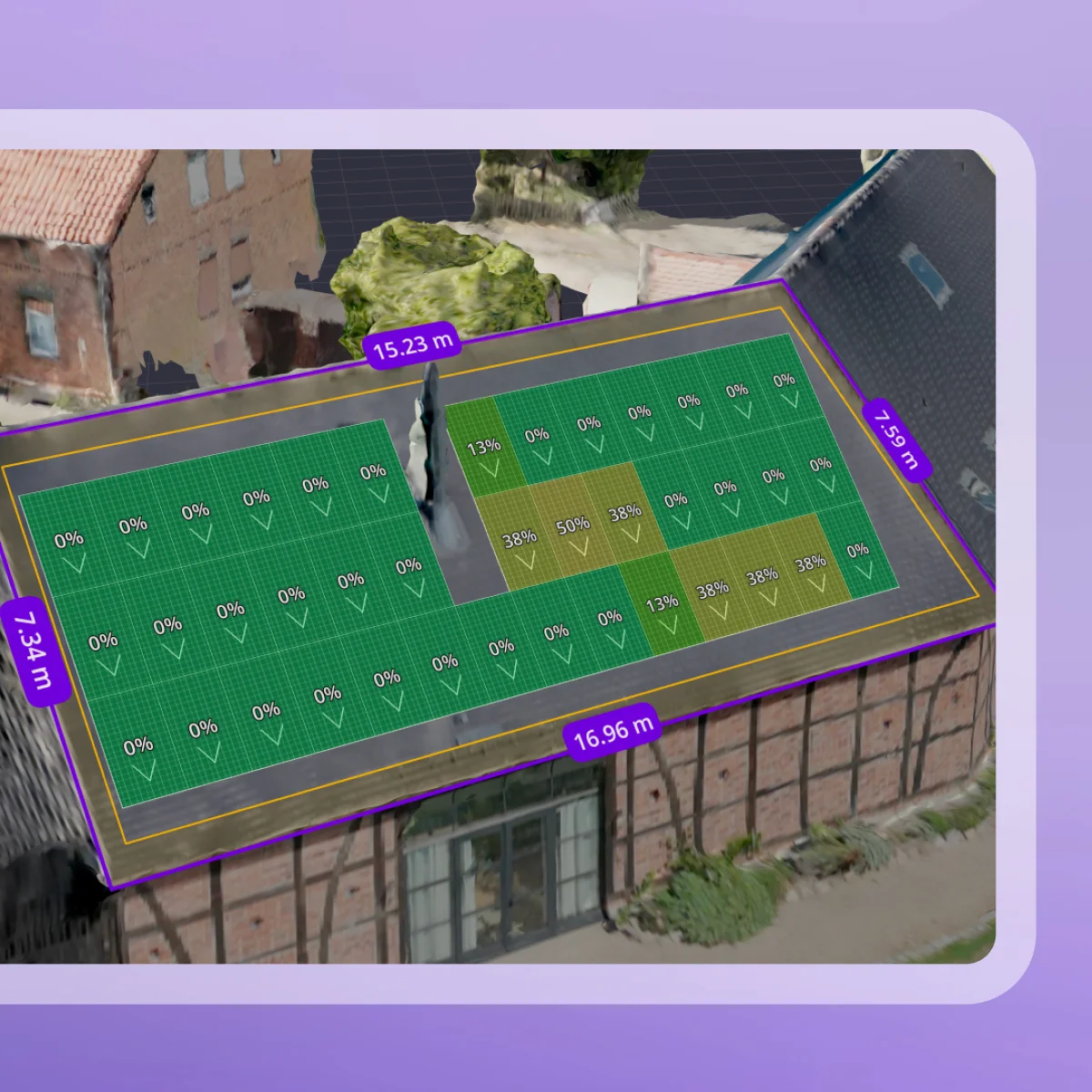
Click through real-world examples from the software – from map data to 3D models.
- Map provider: Orthomaps or Google Maps as background
- Orthophoto: Roof areas directly on the drone photo
- Perspective photos: Modules on the actual building
- 3D model: Planning in a photogrammetry model
Six ways to plan PV
From satellite imagery to 3D models: choose the right planning basis for every project.

Map provider
Ideal for standard cases: Satellite imagery or true-to-scale orthomaps of the address – the fastest foundation.

Construction plan or orthophoto
Ideal for new builds: Upload a construction plan or orthographic drone photo, then set the reference line and north direction.

Perspective photos
Ideal without a flyover: Up to 4 drone or ground-level photos, calibrated using two known lengths. Customer-provided photos also work.

Photogrammetry
The most accurate foundation: A 3D model is generated from a drone flight in about 15 minutes – including tilt and orientation.

Custom 3D model
Ideal with external measurements: Upload a 3D model from another provider and plan within it just as you would in 2D.

Using key metrics
Ideal for quick sizing: Enter output, orientation, and tilt – also suitable for existing systems, such as when retrofitting storage.