LiDAR scan: Measure rooms in minutes
The LiDAR scan automatically captures room geometries using an iPhone or iPad Pro. You can edit the results in the integrated floor plan editor or create the floor plan from scratch using drawing tools or AI recognition.

2,000+ companies rely on our LiDAR scan.


.webp)
How does the LiDAR scan with autarc work?
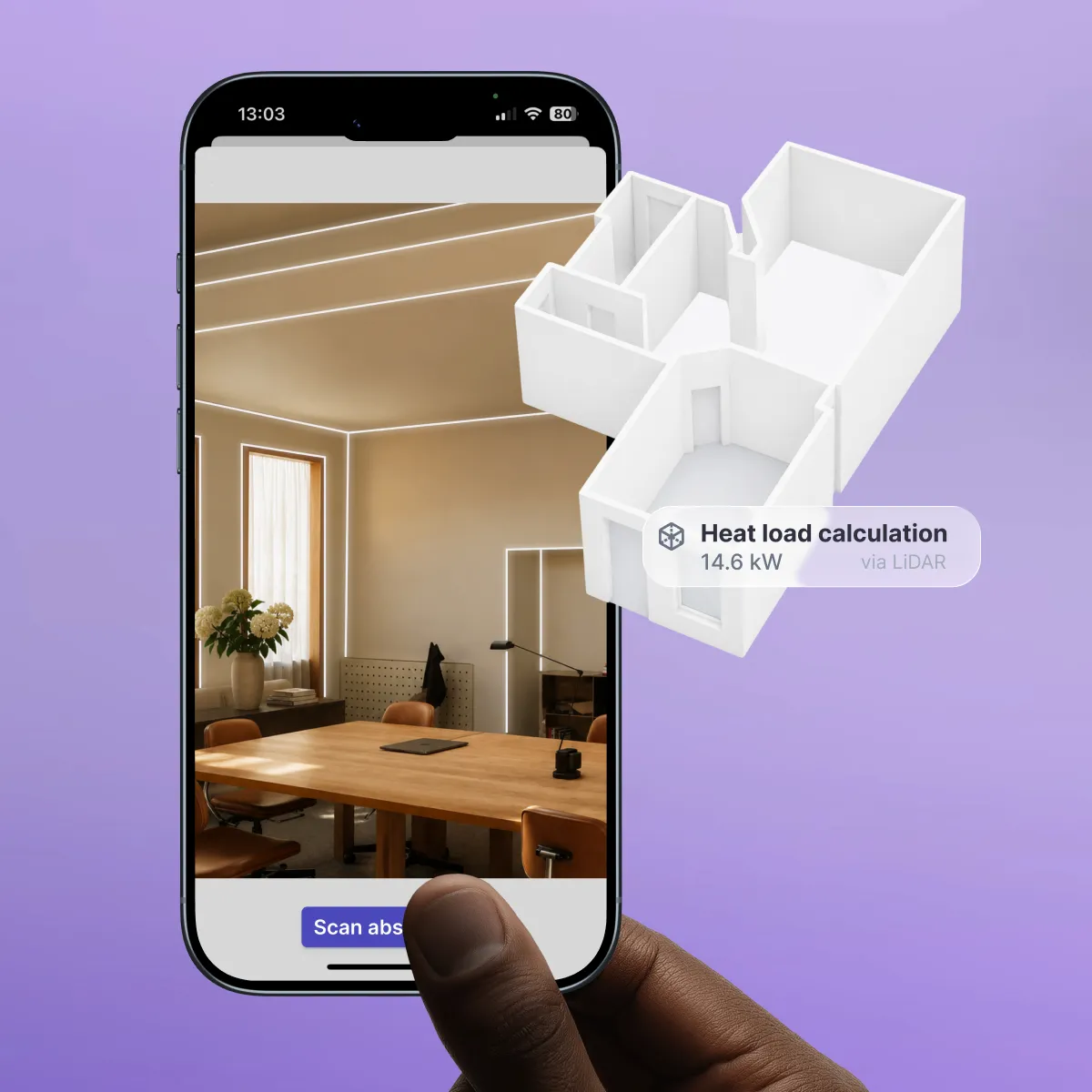
The scan captures room geometries using the LiDAR sensor on your iPhone or iPad Pro. autarc automatically converts the scan data into an editable 3D model in the floor plan editor and uses it to calculate heat load and hydraulic balancing. You scan the building on-site, and autarc processes the data in the background.
- Scan room: You guide your iPhone or iPad Pro through the room once. A user guide leads you through the process step-by-step with helpful prompts. The LiDAR sensor captures walls, ceilings, and floors in seconds.
- Create 3D model: autarc automatically converts the scan data into a digital building model.
- Review model: You review the model and adjust details on your device as needed.
- Calculate heat load and balancing: autarc automatically uses the model to calculate the heat load according to DIN EN 12831 and the hydraulic balancing according to Procedure B.
Scan easily, plan instantly

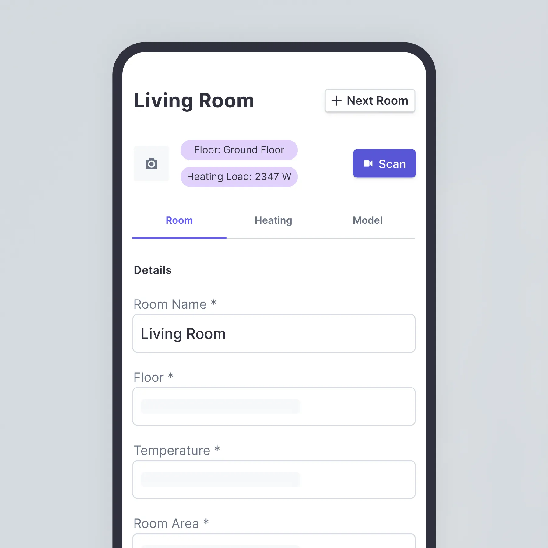
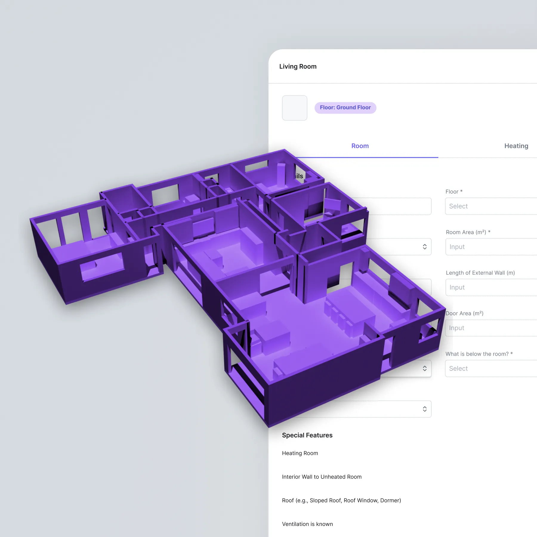


Flexible building data capture
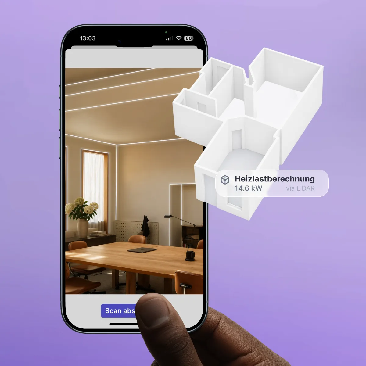
1. Scan buildings via LiDAR
Capture rooms directly on-site using your iPad or iPhone. Walls, doors, windows, and room dimensions are automatically detected and imported into autarc as a digital floor plan.
2. Detect floor plans via AI
Upload an existing floor plan. The AI automatically identifies rooms, walls, windows, and other building data, converting them into an editable digital floor plan.
3. Draw floor plans yourself
Create a floor plan directly in the editor or trace an existing template. Dimensions and building elements can be customized individually.
4. Use directly for planning
Regardless of how the building data was captured, it is immediately available for further planning in autarc.
hydraulic balancing.


Räume sekundenschnell erfassen. Mehr Zeit fürs Handwerk.
Benefits of LiDAR scanning with autarc
- Scan individual rooms in 30 to 45 seconds. Houses up to 175 m² can be scanned in less than 15 minutes.
- Millimeter-level measurement accuracy instead of reading errors from tape measures or laser distance meters.
- Save over 20 hours per project compared to traditional measurements and manual calculations.
- Over 10,000 single-family homes already scanned with the autarc LiDAR scan.
- Plan new builds or remote projects using drawings or AI recognition.
- Works regardless of lighting conditions, even in dark basements or at twilight.

LiDAR scan FAQs
What is the LiDAR scan in autarc?
Which devices support LiDAR scanning?
How accurate is LiDAR surveying?
How long does a complete building scan take?
Does the LiDAR scan work without an internet connection?
Can I create a floor plan without a LiDAR scan?
Is this also suitable for new builds?
LiDAR scan or photogrammetry: What is the difference?