Measuring Buildings Automatically
Photogrammetry allows you to create a precise 3D model of the building from photos. For digital planning and exact area determination.

Precise measurement from images

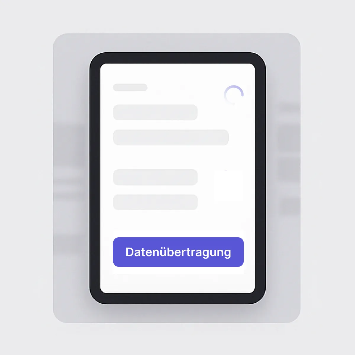
autarc's photogrammetry function automatically converts drone or mobile phone photos into a complete 3D model. This eliminates the need for manual measurements on the construction site.
- Step 1: Carry out drone flight
- Step 2: Upload photos
- Step 3: Receive 3D model
- Step 4: Plan PV system with autarc
Why you should use photogrammetry with autarc
- Everything from a single source: you don't need any additional software. The 3D model lands directly in autarc.
- Maximum safety: No more climbing onto the roof. No risk of accidents for your team.
- Precision to the centimetre: Measurement accuracy of 5 to 10 cm for reliable planning.
- Enormous time saving: 10-minute drone flight instead of hours of measuring.
- Professional impression: Impress customers with modern 3D visualisation.
- Seamless integration: Direct further use in PV planning without detours.
What you can expect

What is photogrammetry?
Photogrammetry converts drone photos into precise 3D models. It captures building shapes and roof surfaces with centimetre precision. With autarc, you can use this technology for precise PV planning without climbing onto the roof. 70 to 300 photos are automatically processed into a digital twin. This saves time and increases planning reliability.
FAQ on Photogrammetry
Which photos do I need for photogrammetry?
Can I edit the model?
Can I also use the 3D model outside autarc?
How long does it take to process my drone photos?